R0 9-10
Brussels, Belgium, 2014-2016
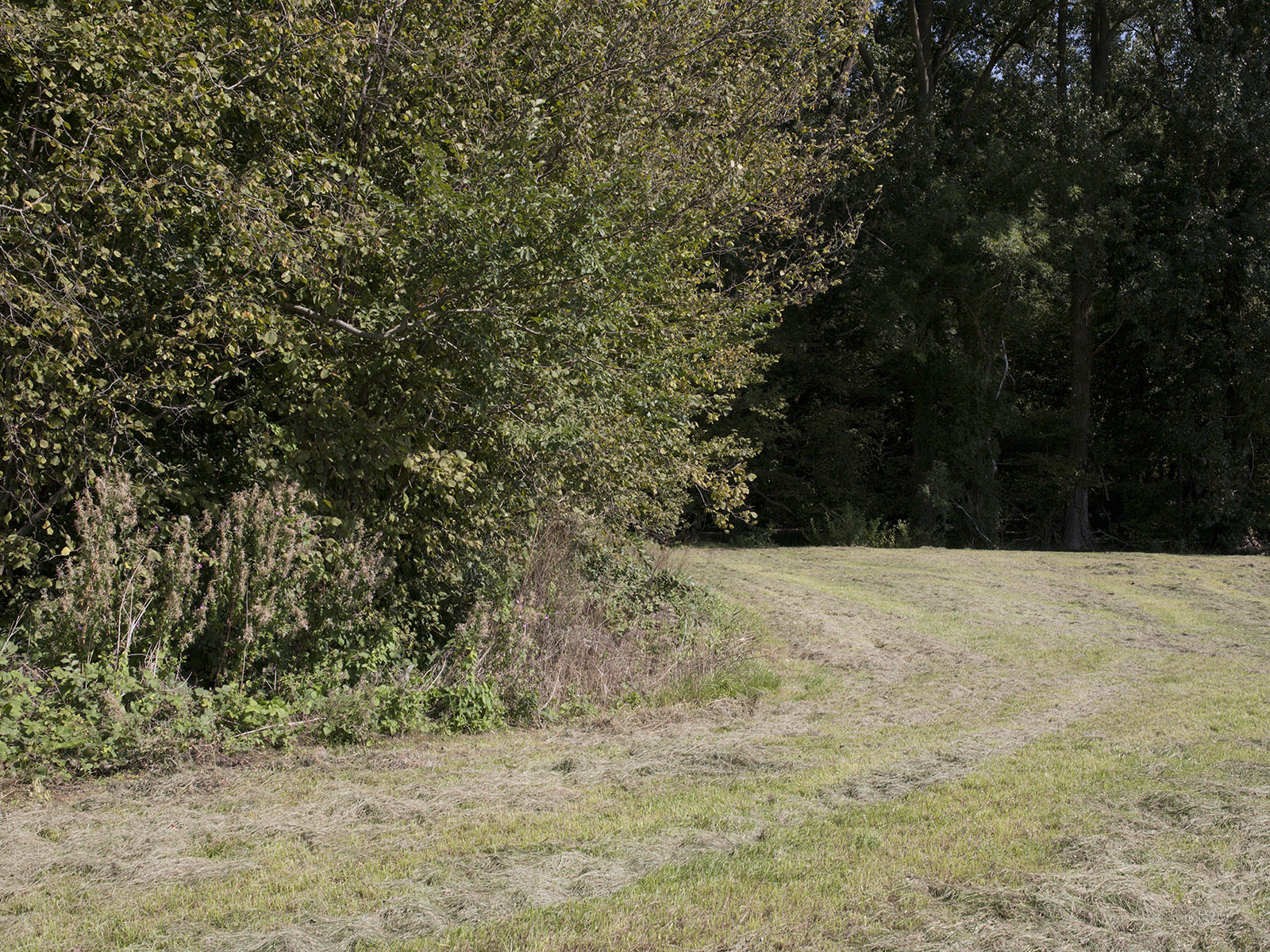
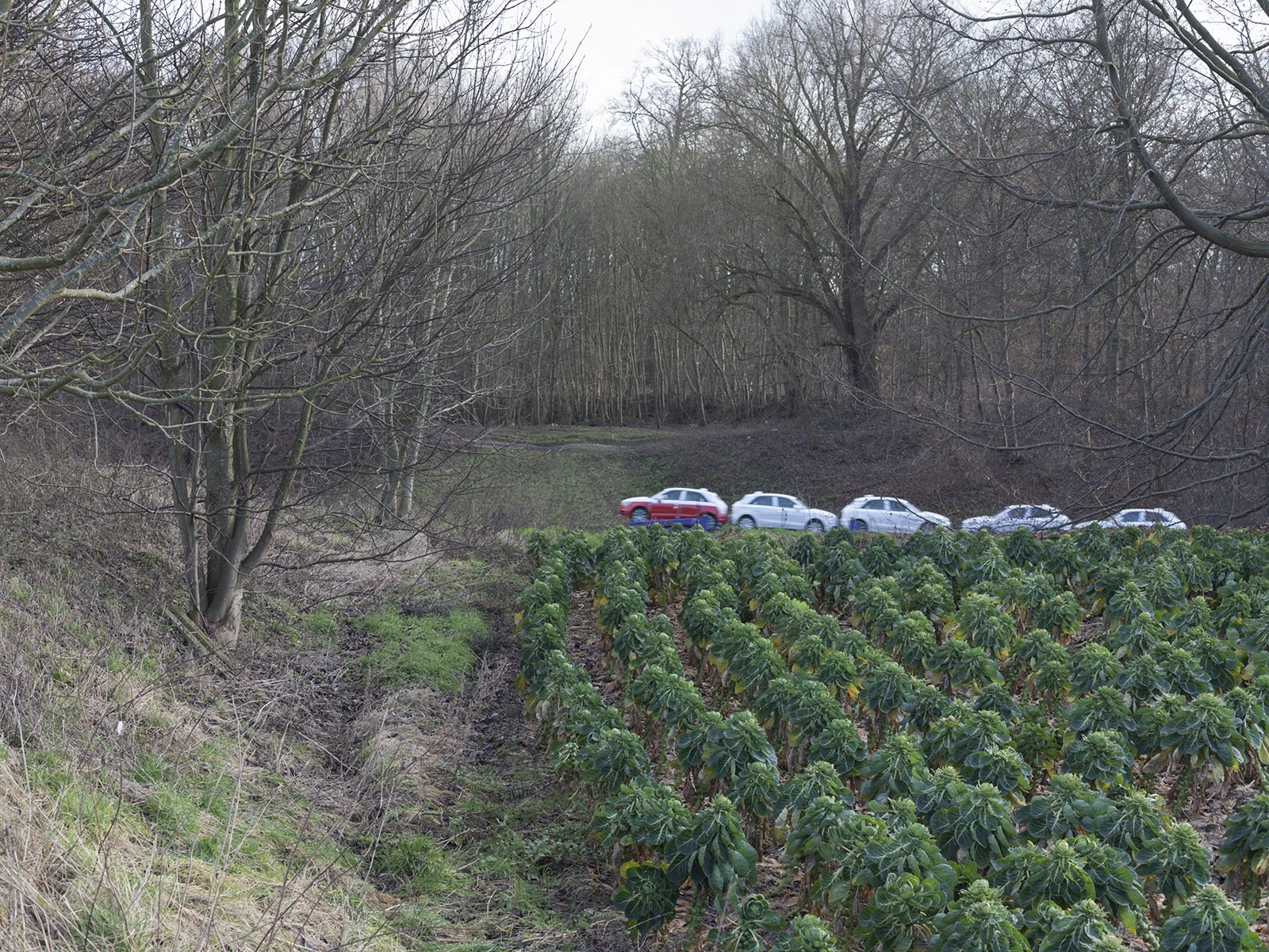
Living in the northern municipalities of Brussels between 2013 and 2015, the Laarbeek wood (Laarbeekbos in Dutch, Bois du Laerbeek in French) was a recreational place where I would go for a run after a long day of business.
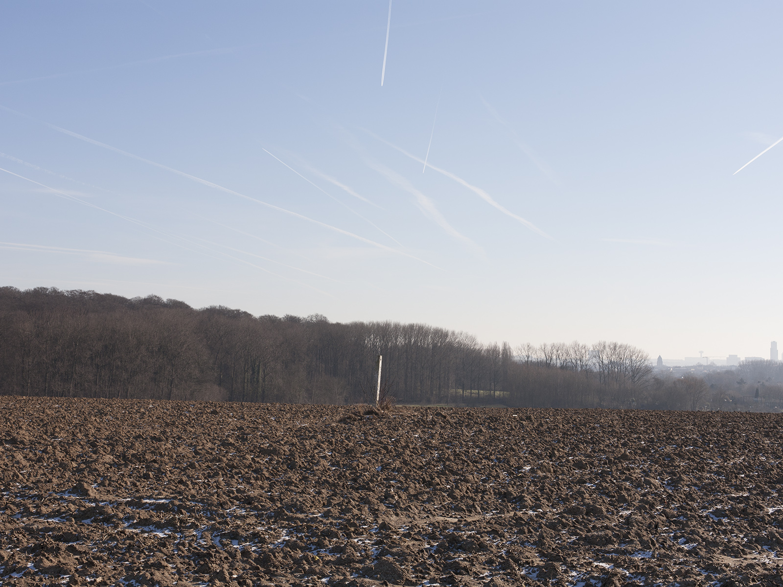
This project reflects on boundaries and the marking of the land when there’s a clear continuity in the terrain. While I went to this wood for recretional purposes, I later found out the frontier between Brussels and Flanders lied there in a small ditch. On the east side, one is in the bilingual capital region of Brussels, on the west, however, one is in Flanders. This site happens to be a Natura 2000 site, a European program aiming to protect wildlife's natural habitat. Both gave the wood strong boundaries, I thought.
Late 2010, the Flemish government abandoned the extension of the ring road on the Flemish side, north of the wood. A project which would, if laid out as planned, absorb 5 hectares of the Laarbeek wood (ie. almost 20 percent of its current area) and therefore impair the wood's integrity.
The project's name derives from the exits number 9 and 10 on the ring road (R0) where the Laarbeek is located.
Brussels, Belgium, 2014-2016
Living in the northern municipalities of Brussels between 2013 and 2015, the Laarbeek wood (Laarbeekbos in Dutch, Bois du Laerbeek in French) was a recreational place where I would go for a run after a long day of business.
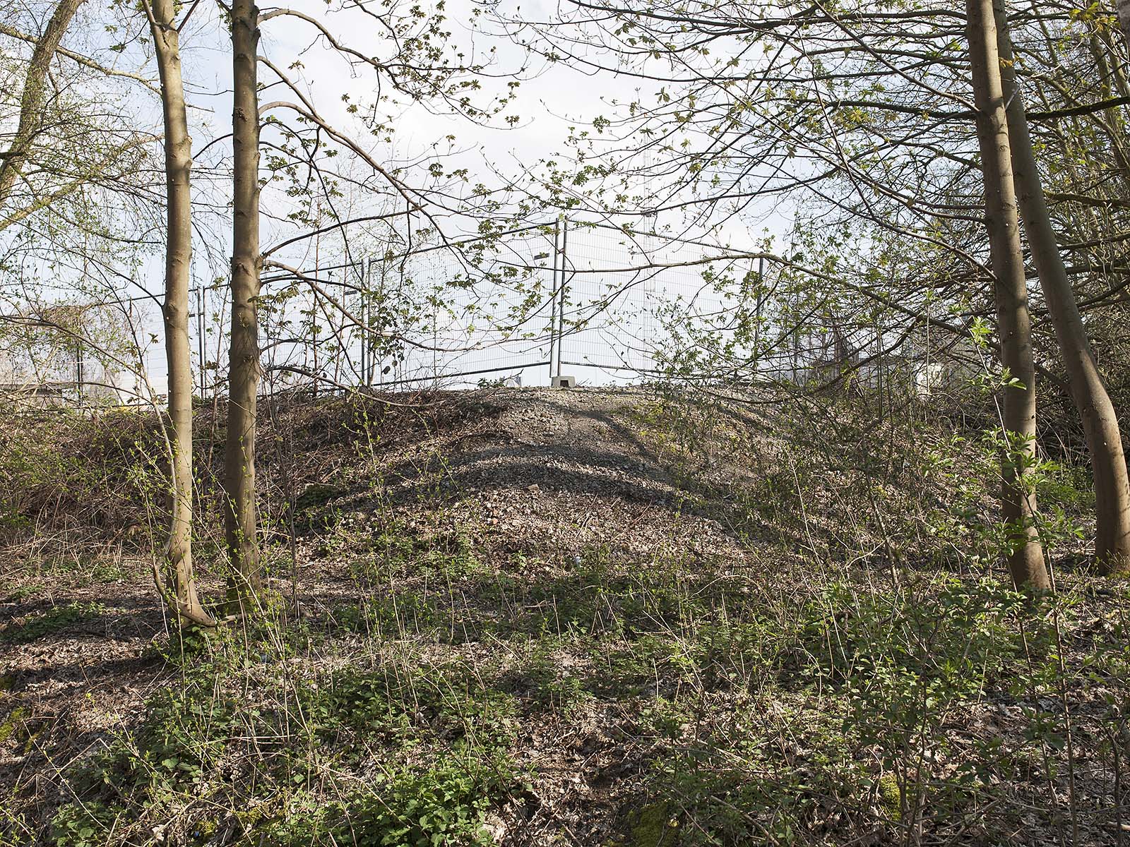
This project reflects on boundaries and the marking of the land when there’s a clear continuity in the terrain. While I went to this wood for recretional purposes, I later found out the frontier between Brussels and Flanders lied there in a small ditch. On the east side, one is in the bilingual capital region of Brussels, on the west, however, one is in Flanders. This site happens to be a Natura 2000 site, a European program aiming to protect wildlife's natural habitat. Both gave the wood strong boundaries, I thought.
Late 2010, the Flemish government abandoned the extension of the ring road on the Flemish side, north of the wood. A project which would, if laid out as planned, absorb 5 hectares of the Laarbeek wood (ie. almost 20 percent of its current area) and therefore impair the wood's integrity.
The project's name derives from the exits number 9 and 10 on the ring road (R0) where the Laarbeek is located.